If there’s one field of mobility that embraces the zeitgeist, it’s drones. Regularly commanding headlines for their use in military operations and their potential for commercial ones, the unmanned aerial vehicles are rapidly becoming cheaper, faster, stronger and more durable and will become a major new source of air traffic in the near future.
While it might not take a drone expert to come to that conclusion, we spoke with one anyway. Arturo Pelayo, with his work first as part of Matternet and now as part of ARIA [Autonomous Roadless Intelligent Array], is on the cutting edge not only of drone technology, but also of drone policy. He gave us insight into the possibilities of drones.Can you briefly describe Matternet?
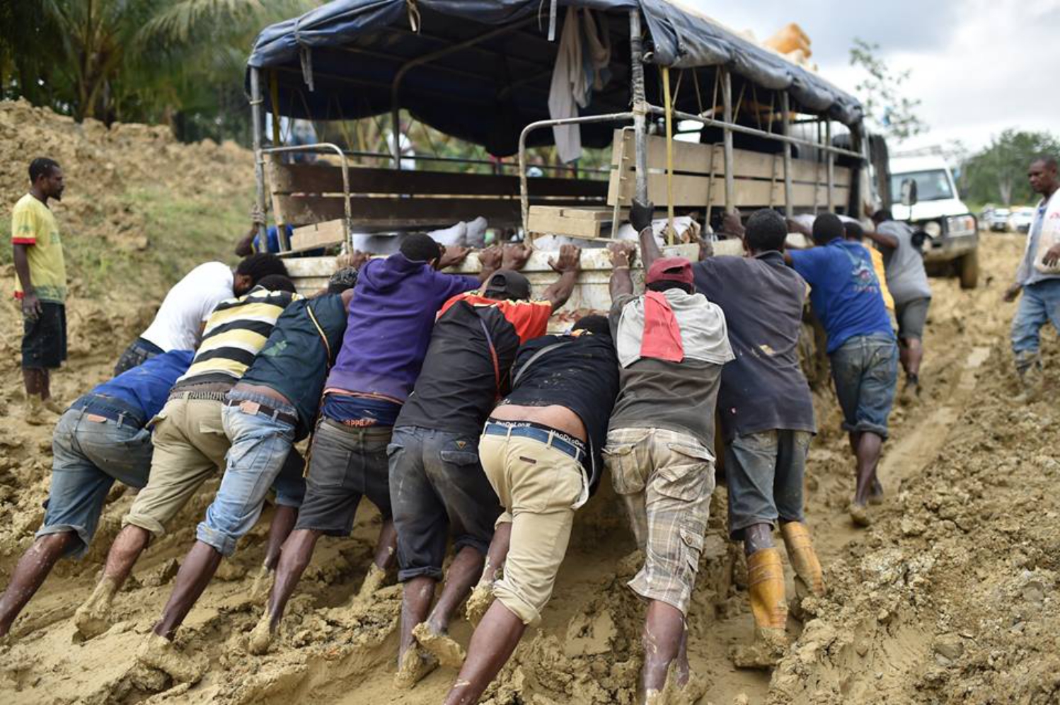
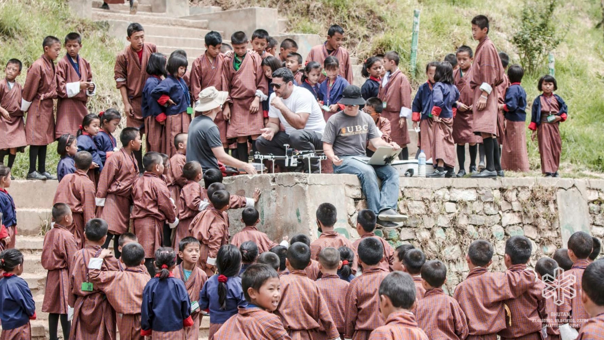
The project began at Singularity University in 2011 as a way to lift a billion people out of poverty within ten years. Seasonal roads are a problem, and in most of the emerging economies, there's a big gap of infrastructure and not enough money for upkeep. A flexible transport infrastructure alleviated some of these challenges and provided an opportunity to re-imagine the rapid exchange of goods and services.
Our initial vision had little to do with drones. The vision was to make this Internet of Atoms. Moving these atoms around is secondary, and the quadcopters give us this first glimpse to create a rapid deployment infrastructure as an application to explain the grand vision. We believe that over time - as distance, battery technology and solar energy improves - these networks could carry more products or services to more regions on the last kilometer of delivery. What does delivery look like in a region where there area lot of mountains and places where HIV/AIDS testing takes 28 days because they can't get the planes traveling in time?
The team had 18 people, and these are all the co-founders of Matternet for all intents and purposes. At the end of summer 2011, eight of us wanted to continue working on the project - four of us were for open-source, four of us were for proprietary. The half of the team that wanted to do it open-source call ourselves ARIA, and we focus on infrastructure development within countries and being able to convince government agencies to allow the use of airspace. In New Zealand - where I live now - we got airspace. Our goal is still lifting the rising billion out of poverty, while our friends and colleagues are tackling several of the technology hurdles and innovation areas by conducting tests with the Swiss Post.
 So there's two different teams working on ultimately the same project, the same technology?
Yes, the use of drones as a transportation network. From the roots of our project in the common intellectual property developed, there are three parts to it: the vehicle, the base station or routing station and the network cloud operating system. The cloud operating system allows the vehicles to fly autonomously, so there's no human operator, and the network also routes the traffic so it can tell which one where to go. And it acts as an air-traffic control tower that reroutes packages and secures the transactions and makes sure that everybody can fly or initiate deliveries or pick-ups. Here is the big difference of what we are developing: autonomous aerial vehicles and not unmanned aerial vehicles (which have a remote pilot).
It's important to demilitarize the notion of drones in the same way that roads were made in the second World War to transport weapons. And now we don't think of roads as a way to militarize anything. You use a road because the road connects you. So our approach to drones is to ask, what does the roadless economy look like?
Drones are already in use on a personal level and a commercial level. You can go to Best Buy and buy one.
They are becoming increasingly disposable. But what does it mean when you have a vehicle that is 99.98% cheaper than your car, and doesn't need road upgrades or other budget from an infrastructural taxpayer perspective to be maintained? If you can have this flexible infrastructure, what else can you do? There are the obvious ideas around location services: getting whatever you ordered from your phone delivered to your GPS location.
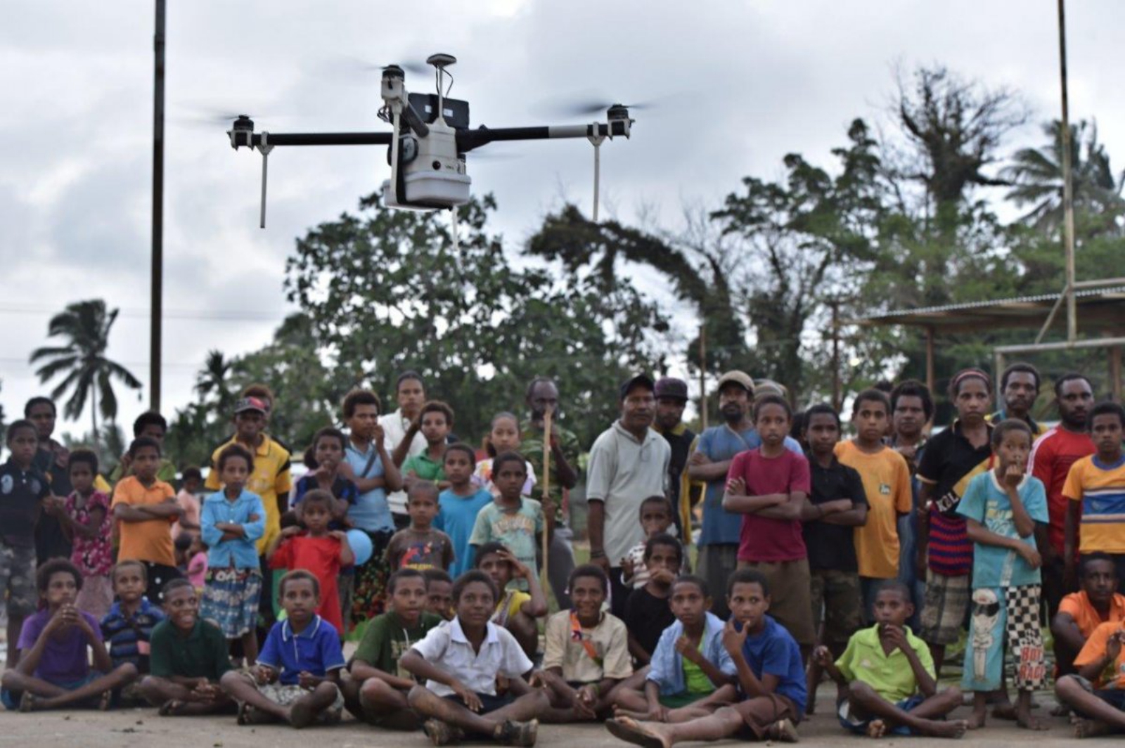
A similar concept applies to farmers in remote regions. If their tractor breaks down, they can get a part 3D printed and delivered to them on location. I think that's the big difference of what these drones can do. If you're in the Australian outback and you get bitten by a snake, it's very possible that you can take a photo and then send a high-speed drone with an anti-venom by sending your location. So it’s about creating new value on ways that haven't been thought of before to deliver impact on global health perspective, but also increasingly in new ways of sharing.
 One of the things that we're doing in New Zealand is launching a competition around 3D mapping. We're looking at their ocean monitoring, so the lack of an area means that the land is eroding. And it's a big issue in Pacific Island nations that are being swallowed by the ocean. These devices enable a rapid deployment of the vehicles to image an area over time, and there is a sensible need to have regulation to allow them to fly and not interfere with other air traffic.
In New Zealand, the Flight Information Region (FIR) totals 30 million square kilometers – one of the largest areas of airspace in the world. It covers the Pacific and Tasman Oceans, extending from the South Pole to 5 degrees south of the equator. It's a very small country with one air traffic control system, one agency that looks after all of it. The area is far greater than all of the European Union combined. This alone makes it globally attractive for entrepreneurs to develop and test new technologies for the roadless economy.
I think you will see most of the impact in rural and remote areas first. Take mountain search and rescue operations - if you lose a drone, you've lost $500, you didn't lose a helicopter with a rescue team. Also, water testing is incredibly difficult and rudimentary at the moment. Generally you have a bucket that is thrown out of a helicopter in a coastal area at a variable depth that is only gauged by the operator of that helicopter. When you do water testing with a drone, you have this device that has a lab on a chip that can send the data in real time with predictable and accurate depths. And you can do multiple tests multiple times a day. The change in how accurate it can be and how often you can do inspections is massive. That was a big problem when the earthquake happened in Christchurch; a lot of the sewage lines broke off the coast. And nobody knew because nobody could see them.
You're also going to get a lot of precision agriculture developments because of drone technology. In New Zealand, the kiwi fruit is a restricted seed variety. In the past, Zespri - the company that owns the seeds - would send auditors to the fields and they would manually count and predict the amount of kiwi being grown using large sensors in the beds of pickups. The interest was to know, is the yield going well or are they producing more than what they're paying?
In the past, it would take them up to a week get on a field because of biohazard controls. Now, with drones, they're imaging a hectare in under 20 minutes. And because of sensor fusion and all of what is coming on cellphones, the miniaturization of the technology is enabling all of these small drones to monitor and audit the fields. They know within an hour how much kiwi fruit they're growing; if they're over the license, they send the grower a bill for the extra production or they give them the option to cut down the vines.
 There is more metadata collected, such as the amount of phosphate in the ground, the health of the water table, the amount of sun radiation, the amount of weeds—all of these things feeding multiple sensors in the drones. And the drone is under seven kilos.
It also sounds like this has huge ramifications for privacy.
Data is always vulnerable. If someone hacks into the infrastructure of any of the monitoring companies, not only do they have the data from one hectare of land, they have the data of all of the land that they have imaged, ever. So this is hundreds of acres of data, and at some point it becomes the model of an economic region and the production output of a whole country. This is a big blind spot.
Developing drones in an open-source approach gives you the certainty, as much as you can, that what you're doing is incredibly new, transparent, replicable and you won't be slowed down by patents or legal challenges. For us, the most important aspect is that it is replicable: we can’t reach a billion people if we wait until we make every piece ourselves. We want to catalyze the momentum of the makers movement. The network needs to emerge everywhere with a common open protocol.
Are you having to rely on any of the work of those patents?
There are some that are expiring and in some cases it's a licensing issue. I am a firm believer in iterating approaches and seeding a thousand realities. Our advantage at ARIA is that we are taking an Android-style approach,basically saying, let's not think of the vehicle, think of the road. A road can carry a bicycle, a truck, a person walking. Let's focus on the minimum viable thing that you need and the protocols that you need to establish. Like on a street, you will have a stoplight; everybody knows what a stoplight is regardless of the dimensions or weight capability of that vehicle. We want to focus on creating those open protocols for management of airspace and maneuvering airspace autonomously.
But that's also legislation.
There's a combination of legislation as it inter-operates on the specific location of where you are. But also, you need to develop the technology that is open and accessible, so everybody else can use it. Stoplights are pretty much universal now, everybody knows what they are. But the specifics of how they work or infringements change with each locality. So, for us it's a combination of the law and policy aspect, which is local, but also the technology that is more universal.
 For your role in this, it sounds like you're a drone expert, but I'm assuming you're not actually writing code yourself?
No, my role is more abstract. I always think of the roadless economy and what this network can do for you. It has to be robust enough to have different applications from erosion testing to supply chain challenges such as delivering temperature-sensitive cargo, tissue samples or even organs from one hospital to another.
When you think of websites like Amazon, a considerable amount of all their products weigh under five kilos. If you can figure out a way to deliver something small, you reduce the carbon emissions of the vehicle, you reduce the density of traffic, and you have created a better experience.
In New Zealand, two years ago, we began a partnership with a locally grown produce co-op called Oooby [Out of Our Own Backyard]. It's a network of local growers that grow organic veggies. You can order a box of fresh veggies delivered to your door weekly. A big focus of our relationship with Oooby is energy, sustainability and customer experience. The customer wants fresh quality fruit and produce. What happens is if instead of a weekly box, you get deliveries every two or three days, because it goes from the vine to the house as fast as possible? We have been working with Oooby for a while, as it is a template for the future of precision agriculture and vine-to-table economics.
Battery technology has improved tremendously. When we did our first open source prototype at Singularity University in 2011, the arducopter drone was about USD $1,800. Right now, a drone that has twice the battery and a 30%larger payload costs under USD $600. The technology is becoming more democratized, it's easier to purchase, and this is both good and bad. It means that consumers can now buy drones and fly them into trees faster. It's creating a big problem because policy hasn't caught up to that and, equally, reckless users are hampering the opportunity of the roadless economy.
You mean now they have to start regulating the airspace.
Yes. In New Zealand, we have recently updated the regulation of drones but the deeper problem is the mechanics of how regulation happens. The country knows that by 2018 there will be an integration of airspace. Drones will be part of the transport grid, the ecosystem of vehicles. How we get to 2018 is with innovations in managing airspace, cloud systems that enable vehicle avoidance and collision avoidance. In a control tower, you have one or two operators that are looking at planes and they talk to the pilots and they all see it. But in ten years, we're going to have more drones than we've ever had any kind of flying vehicle in history. There is no human capability to handle all of that traffic. The system needs to decide itself how to route the traffic.
 If ARIA is open-source, how are you making enough money to operate?
We are bootstrapping at the moment. Our work is more focused on influencing and enabling companies and countries to develop these open-innovation competitions. So in New Zealand we just closed the C Prize Competition and are in the late stage of prototype development. This first competition looked at how can we get better maneuverability of drones,reduce the noise output and improve control stability of flight.
We're looking at how can we seed base technologies that everybody can use, regardless of the final application - if they deliver medicine, if they're mapping an ocean or anything. We don't care how they monetize, but the interest that we have is that everybody uses the same technology - an open technology; that when they come to recharge their batteries, for example, everybody uses the same type of connector. If we can make those open and available, we believe we can create a reverse market that has that thirst for the open technology.
They may have specific proprietary technologies on the drones for the applications - we don't mind that. It's like a car. There are proprietary technologies within each of those cars, but there are basic things that are shared. If you blow a tire, you can get a new one and it doesn't need to be a specific brand, it's just a tire.
But to answer your question, we have day jobs and we're working on this as a part-time night job. Insane, but that's how we've been doing it for a long time[laughs].
 Is that a humanitarian mission or do you think it will pay off in the long run?
I think it will pay off. It has already paid off in New Zealand because we got to lead and influence a country to sponsor a competition that has prizes and it has teams working—I set up that relationship directly with them. We enabled a company to have the infrastructure for teams to register and track their progress, and I am actively looking at how we can continue those competitions, also in other countries.
I think the South Pacific is a unique geography because in New Zealand, you have low density of human population - it's under 5 million people. Most of the traffic flows either through the Pacific Ocean or through the Tasman Sea. Even the national flights follow those coasts. So it leaves the whole length of the country without air traffic. It enables testing of new kinds of vehicles. So it’s a unique geography, a single control tower, a single government entity that you need to work with. Unlike the European Union - you fly something long like a single-wing drone in Germany, and if you're on the border with another country, you need to give notice or get permission from the other country's tower.
Is that why you moved there?
Yes, it was a big part of why we moved there. The Google Loon project was originally tested in New Zealand. There are many test sites available. One in Canterbury is at least 100 square kilometers and this enables different kinds of vehicles, associated systems and protocols to be tested. One of the things I'm working on now is creating maker spaces for drone development and enabling special areas of airspace across New Zealand for enthusiasts and curious minds to develop technologies. For us, it is a time of intense curiosity and seeding a thousand realities from what was a few years ago only a possibility. We don’t need roads where we are going.